Oceantic Network hosts virtual events and webinars throughout the year that present information on a variety of topics related to the offshore wind and ocean renewables industries. From informational topics about Oceantic Network programs, including membership and Global Gateway programming, to deep dives about late-breaking industry news, Oceantic Network strives to keep you informed, connected, and engaged.
Oceantic Network
Virtual Events
Beyond the Headlines: Market Realities & Emerging OpportunitiesJune 26 @ 11:00 am - 12:00 pm
Join us for another exclusive quarterly briefing for Oceantic members that looks past near‑term uncertainty to what’s taking shape across offshore wind and the broader marine economy. In this Q2 session, Oceantic’s CEO and senior leadership will share progress on Project Second Wave, real‑world performance data from operating projects, litigation and state activity, and emerging opportunities around corporate PPAs and offshore wind. The conversation will also explore what lies beyond today’s market horizon, and how Oceantic is positioning the industry to support adjacent marine sectors such as defense, autonomous systems, critical minerals, and other ocean‑based opportunities.

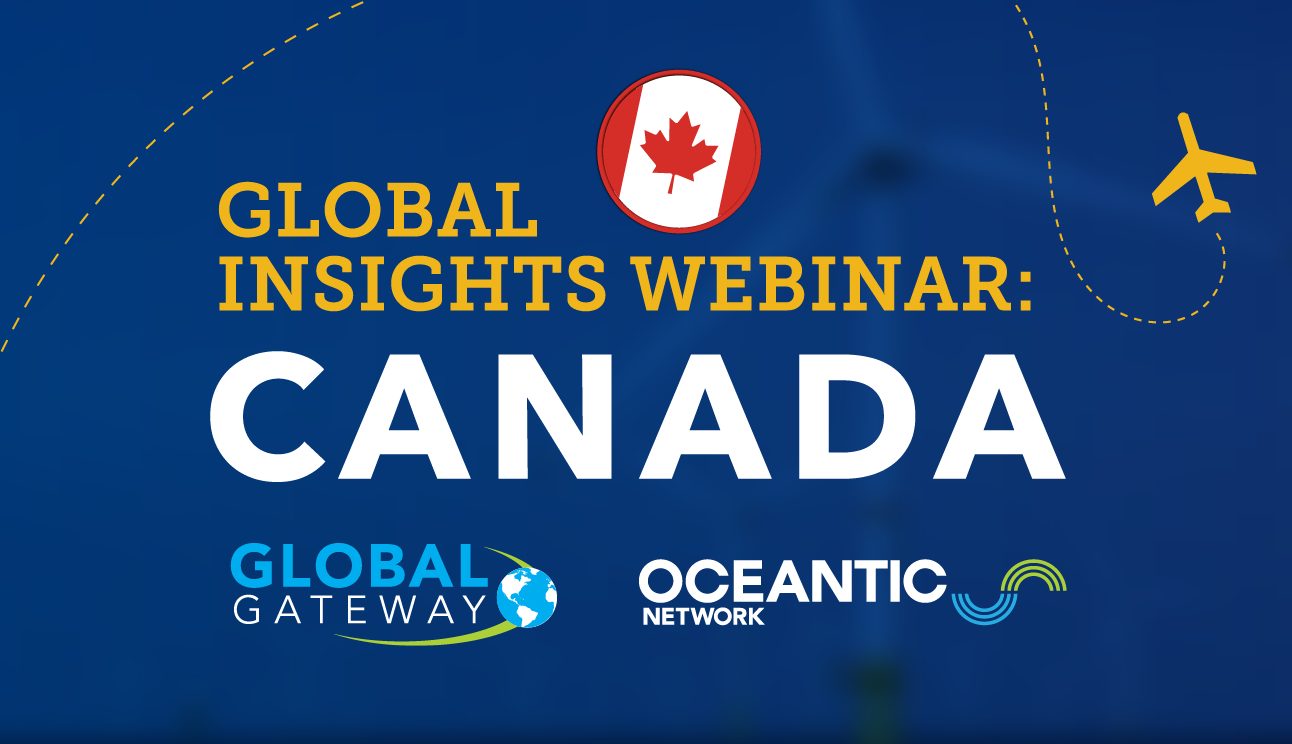
Global Insights Webinar: Canada's Fast-Growing Offshore Wind & Marine Renewables SectorJuly 23 @ 11:00 am - 12:00 pm
Join Oceantic Network and industry leaders from Marine Renewables Canada for an inside look at one of the fastest-growing offshore wind and marine energy markets in the world.
This webinar will explore:
- Canada’s key milestones and recent developments
- Current market conditions and policy landscape
- Upcoming projects and near-term business opportunities
You’ll also learn how your organization can engage in this growth market, including details on Oceantic’s upcoming Global Gateway delegation to Marine Renewables Canada Conference (Ottawa, November 17-19).
Whether you’re new to the Canadian market or looking to expand your footprint, this webinar will equip you with the insights and connections you need to succeed.